




430
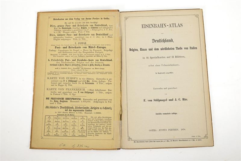
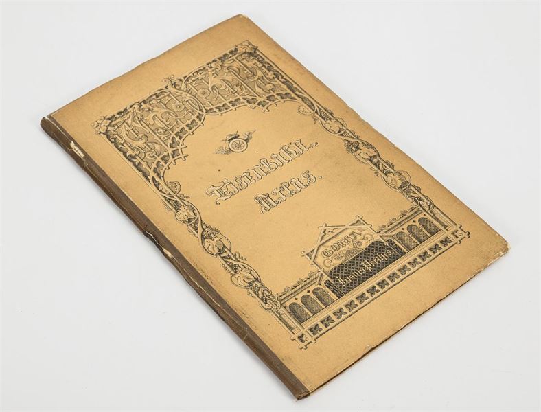
"Railway Atlas of Germany, Belgium, Alsace, and the northernmost part of Italy"
Justus Perthes Publishing House. Gotha. 1858. 23.5 x 15 cm.
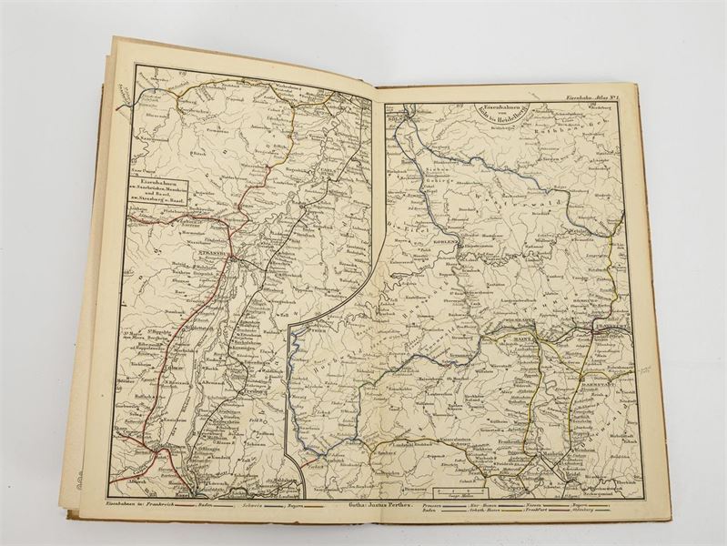
12th expanded edition, by F. von Stülpnagel and J. C. Bär. Large map of Germany and neighboring regions and 13 double-page maps.
Extensive railroad network just 23 years after the first train ran in Germany.
Call time: Oct. 28, 2026 | approximately 3:09 p.m. (CET)
Limit 70 €
• LIVE Auction starts in 4 days
• Calling time: 28. | Oct 2026 | approximately 15:09 uhr
Log in
• Calling time: 28. | Oct 2026 | approximately 15:09 uhr
International shipping quote
Non-binding estimate by our partner ThePackengers. Not applicable to shipments within Germany (shipped by us via DHL). Terms: www.thepackengers.com