




3018
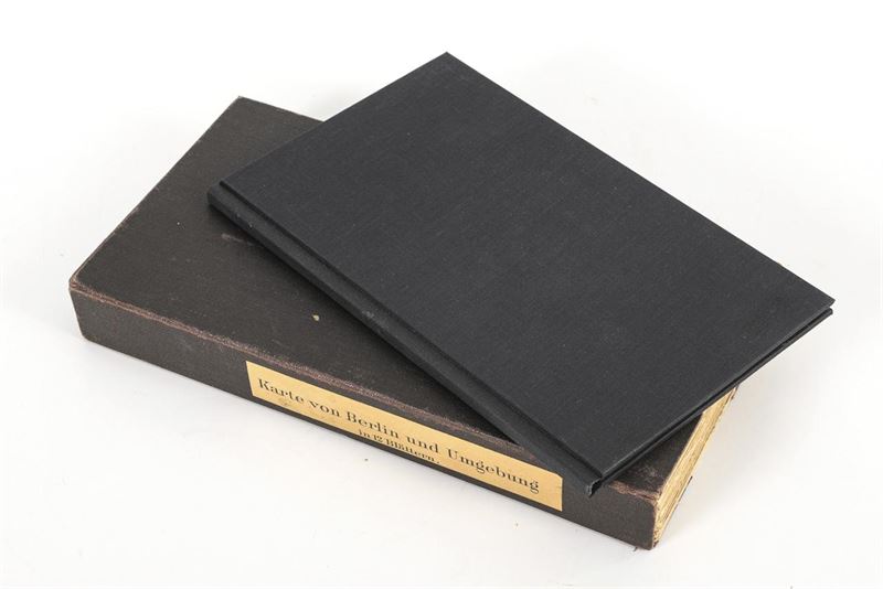
"Map of Berlin and the Surrounding Area in 12 Sheets"
Colored steel engravings. Circa 1900.
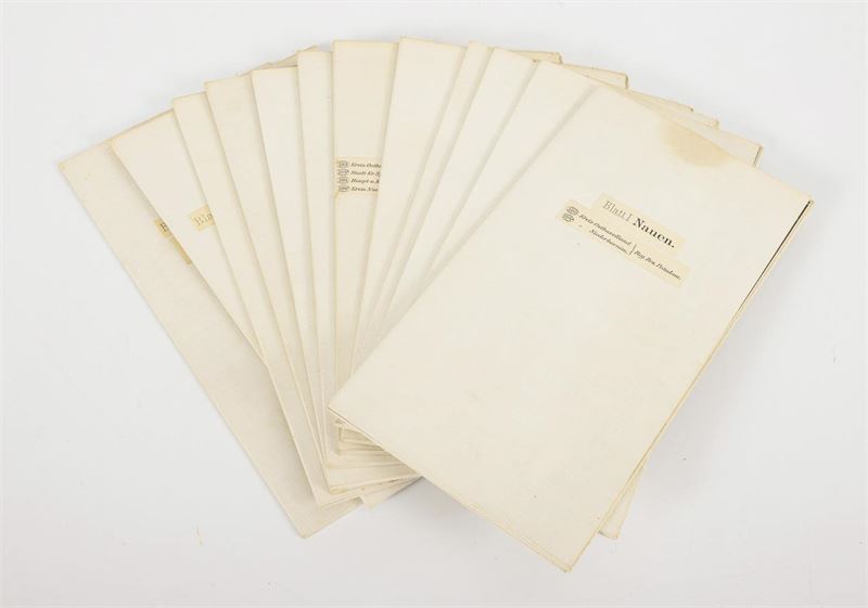
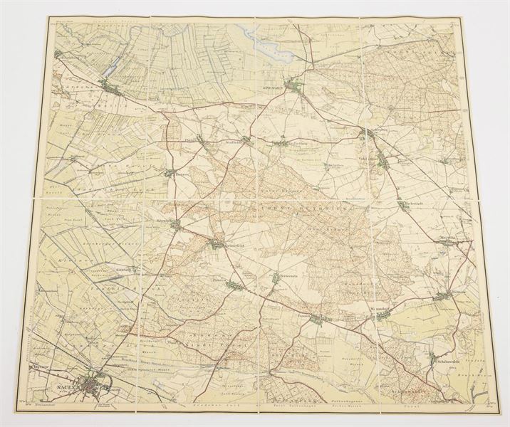
Maps each 47 x 48 cm, folded 24 x 13.5 cm.
12 maps mounted on linen in segments, all with a scale and legend. Scale 1:50,000. Includes the “Explanatory Notes” by Paul Schneider, in the accompanying booklet. The maps are in very good condition; the slipcase and the cover of the explanatory notes appear to have been rebound or reupholstered more recently. The sheets are likely based on the survey conducted by R. Eisenschmidt (no note to that effect). Covers the area from Kremmen (on Sheet 1, “Nauen”) in the northwest to Bad Freienwalde (on Sheet 4) in the northeast, and from Beelitz (on Sheet 9, “Werder”) in the southwest to Scharmützelsee (on Sheet 12 “Fürstenwalde”) in the southeast.
Call time: Oct. 31, 2026 | approximately 10:09 a.m. (CET)
Limit 160 €
• LIVE Auction starts in 8 days
• Calling time: 31. | Oct 2026 | approximately 10:09 uhr
Log in
• Calling time: 31. | Oct 2026 | approximately 10:09 uhr
International shipping quote
Non-binding estimate by our partner ThePackengers. Not applicable to shipments within Germany (shipped by us via DHL). Terms: www.thepackengers.com